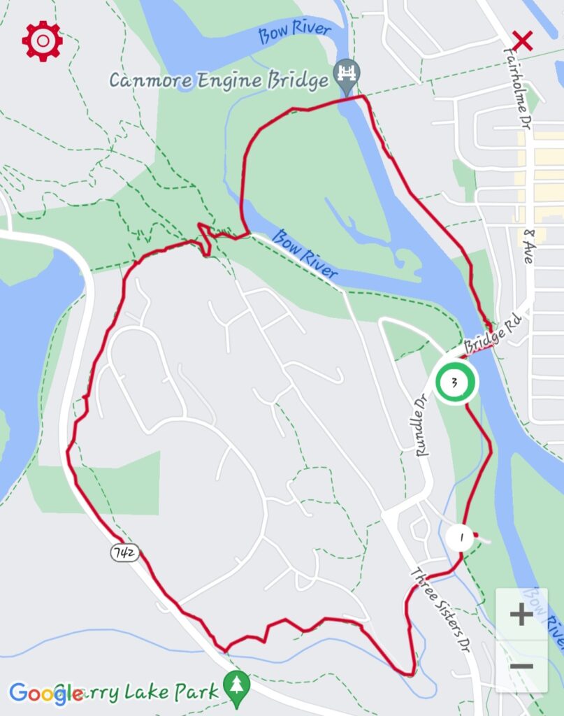
Hiking Bow River Trail
The nice thing about hiking this trail in Canmore (Alberta) is the options. AllTrails marked this trail as easy, which is true but you have a couple of options that make it moderately challenging with disability. I did it with a cane and a great deal of the trail is accessible to ‘wheelies.’
I have MS and my deficits are:
- heat intolerant
- foot drop and knee hyper-extension, both of which get much worse with exertion
- need a cane once fatigued which happens pretty quickly some days
- poor balance
- uncoordinated/stumbly when fatigued; this gets worse as fatigue gets worse, or I’m too hot/too cold
Starting out
We started from the Rundle parking lot in Canmore. It’s very small! From there we walked to the pedestrian bridge (to the left) and crossed it, still heading left once we crossed. The hiking trail here is paved and runs along the Bow River. The scenery is beautiful, and we were there in late September so the leaves were changing. There were also plenty of benches, which is great for anyone who needs to sit and rest frequently.
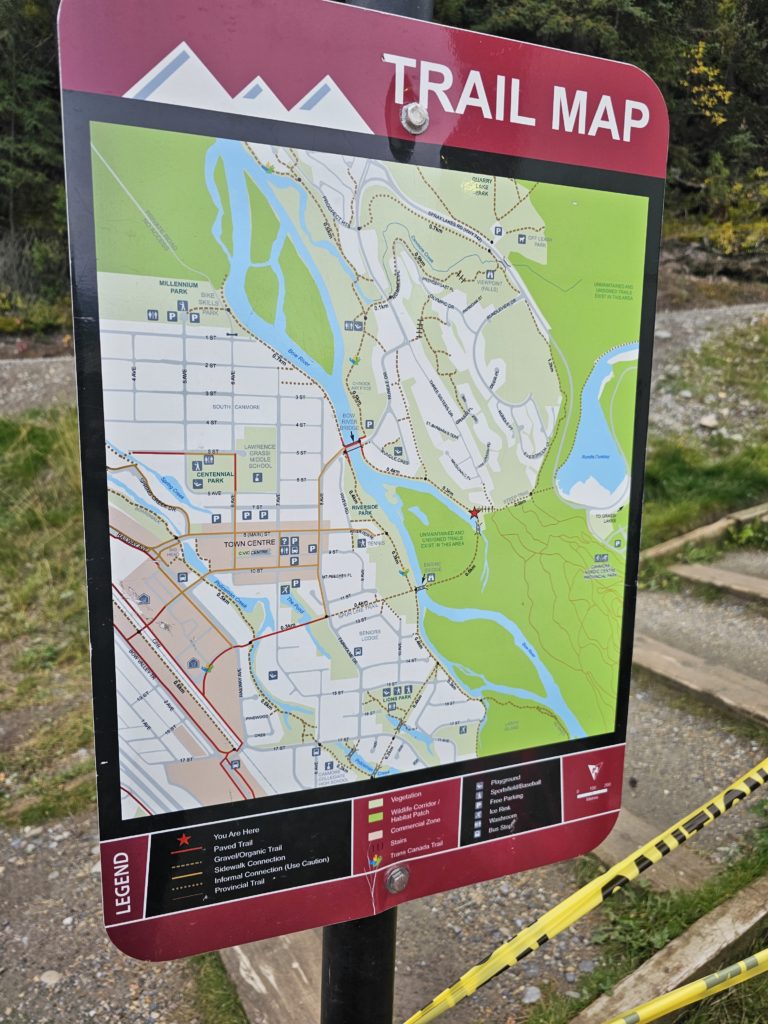
You can keep going along the river, or you can cross over Engine Bridge like we did, it’s flat and even. I didn’t find it sketchy for trip hazards, I didn’t come across any uneven boards sticking up.
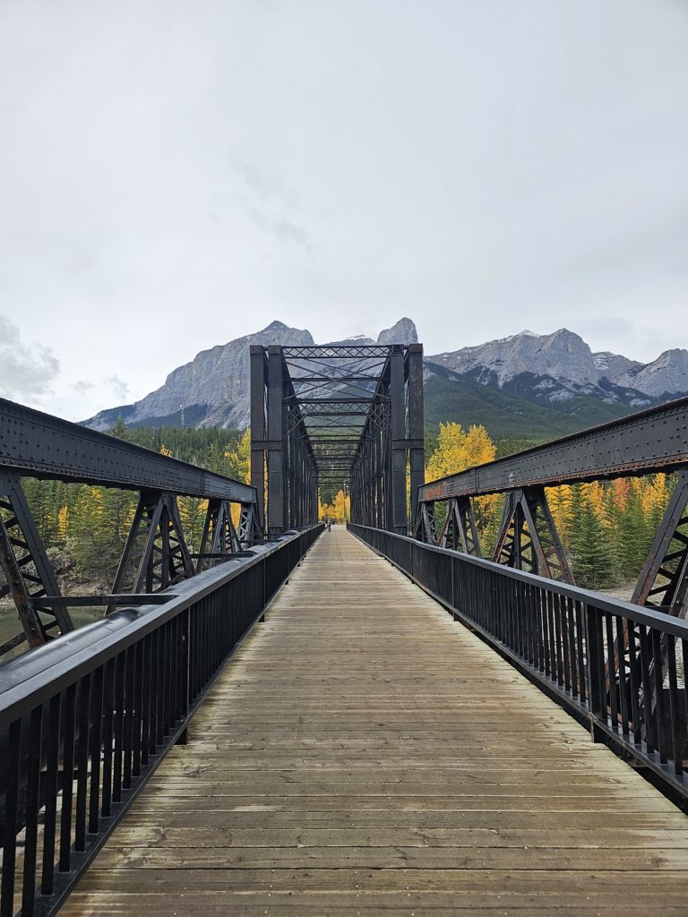
The engine bridge
Once you cross this second bridge, you’ll pass a hydro station on your right and then you’ll see a big set of stairs. You have the option of continuing to the left (trail looked the same surface and flat as it had been) or taking the stairs.
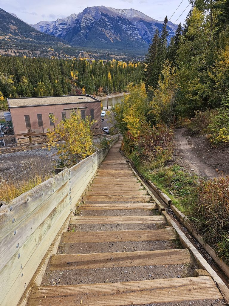
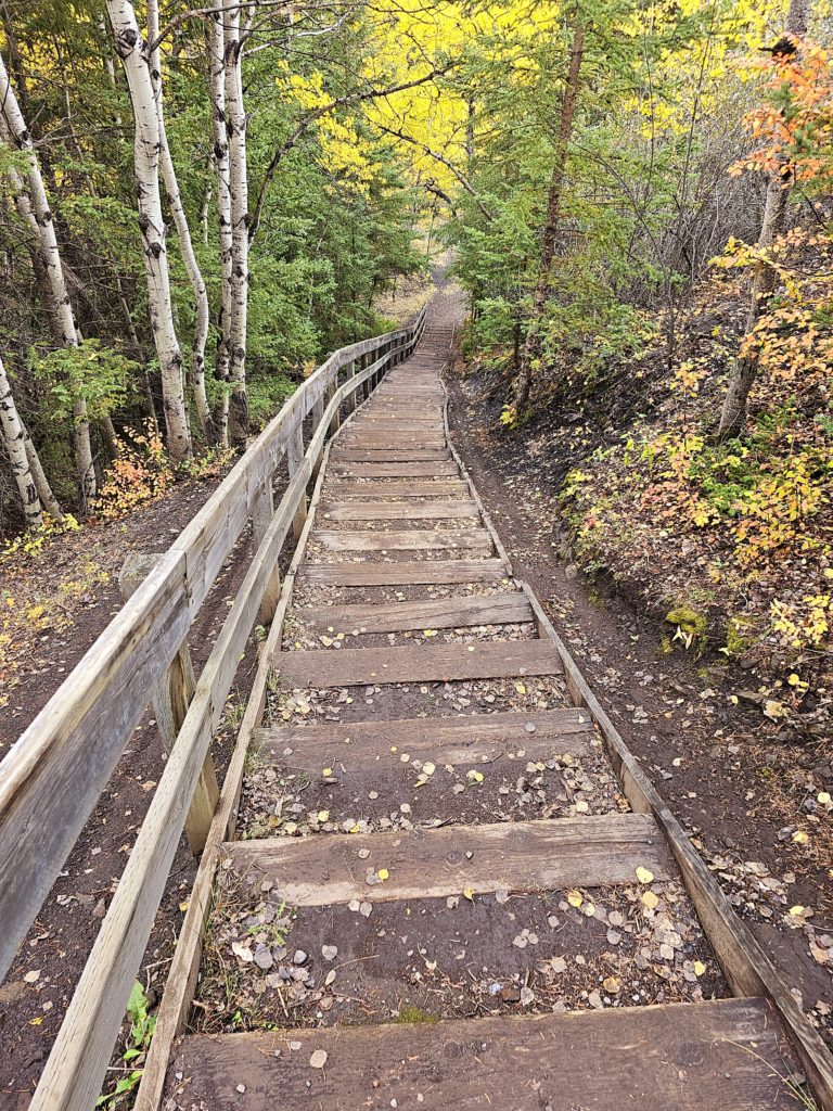
I do struggle a bit with stairs, especially ones like these. Sometimes, the rise is different from a ‘normal’ staircase and sometimes the rise (height of the stair) varies from one step to another which is hard on my brain stem haha. But I got up them hanging onto the rail and it didn’t even take me an hour. This picture I took once I was at the top shows how many stairs there are. (The AllTrails hiking app says there’s 135 stairs.)
Once you get up the stairs (if you decide to go this way) you’ll see the hiking trail snake to the left a little past the stairs. There’s incline here but I didn’t die. I think total elevation for our whole excursion was about 400 feet.
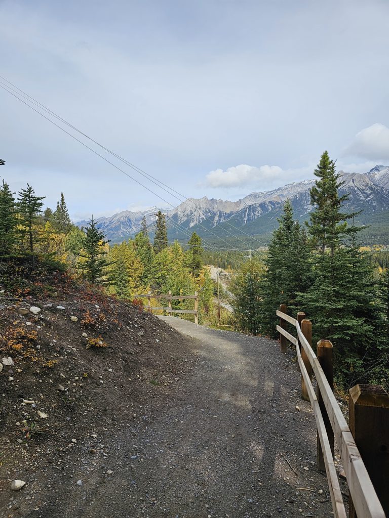
The trail surface is groomed. I was on cane by now; I started using it for stability after we crossed the Engine Bridge just because I take all precautions to avoid falls when I’m outdoors. We weren’t particularly isolated on this one (there were lots of people on the trail) but I’m very tall and about 180 lbs so I never want my husband to try and carry me back to the truck, or have to leave me alone on a trail while he went for help because I’m not sure he’d get over the emotional trauma of doing so.
Some incline
After awhile, the trees open up and you’re in a clearing. The picture hopefully gives you an idea of the amount of incline and the surface you’d be going up if you choose to.
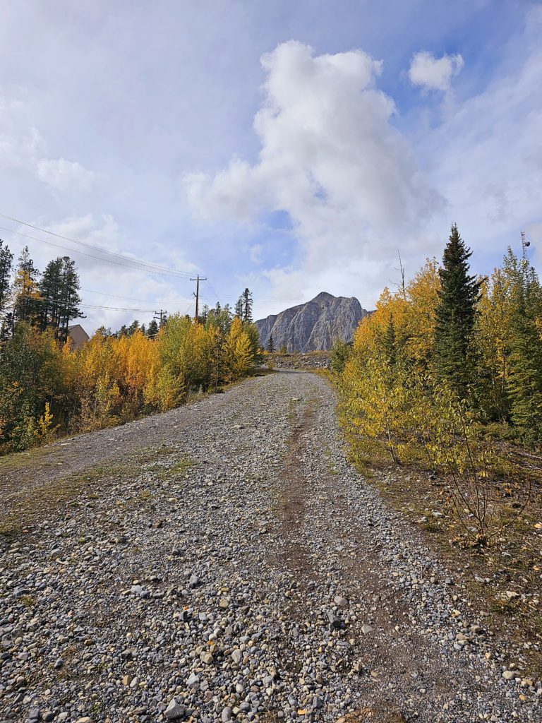
There were a couple sketchy spots with large, loose gravel that was a bit thicker and some ruts so I took my time, being as sure footed as I can be. I made it and then I sat for a few minutes to recover and hydrate.
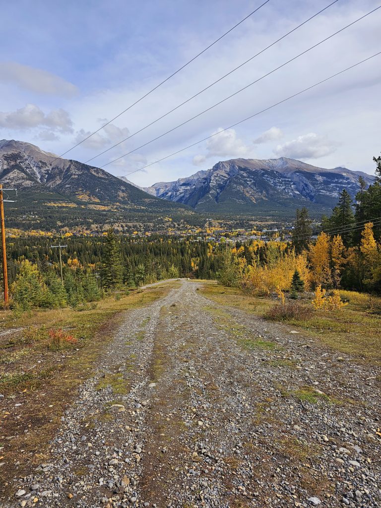
Stay left
After a rest, we kept going to the left. The trail is paved and behind a residential area. Definitely not isolated in the boonies. Again, you can stay on this trail and it will loop around through residential neighbourhoods in Canmore. You could also access this paved walkway from the neighbourhoods if you need wheels and a safe surface.
There was construction with a detour when we were there, so we walked along the highway for maybe half a mile? But the shoulder is pretty wide and then there’s a very wide ditch that’s pretty flat. Just be mindful of the trip hazards of occasional large rocks, grass, plants, etc.
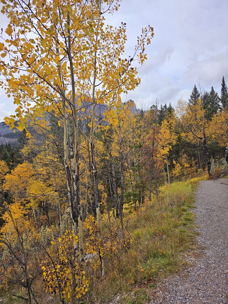
Back on the trail
Once away from the highway, there were benches every now and then along the hiking path. My new rule the last four years has been that if I see a bench, I’m going to sit on it for a few minutes to rest.
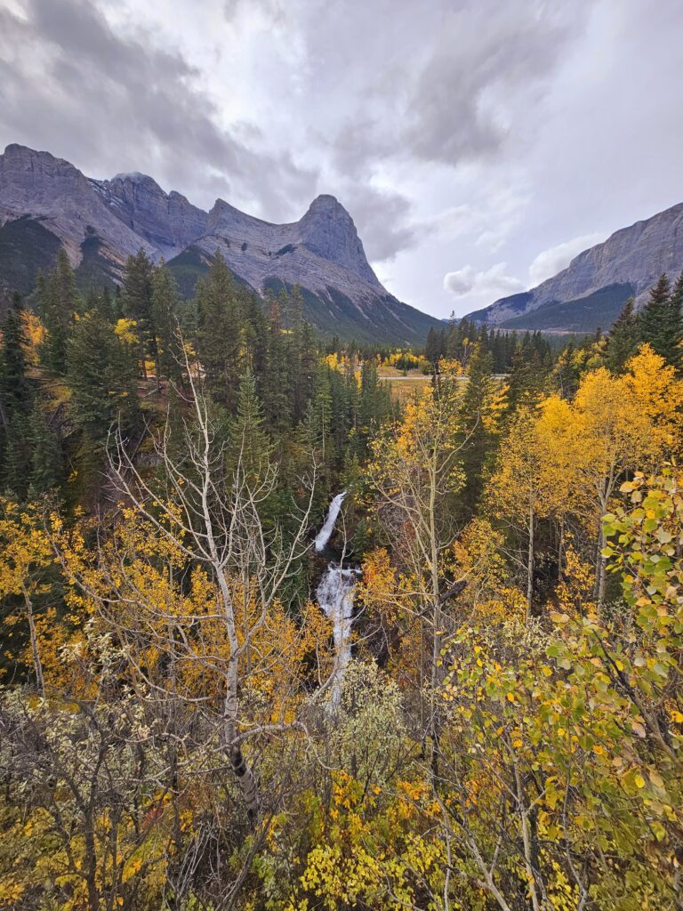
From there, we walked through a residential area and then onto a paved path that went right by a playground. Lots of benches!
This trail is gorgeous and very ‘choose your own adventure.’ It can be be easy (as easy as being disabled ever is) or moderate.
Quick stats:
Distance: About 3 miles
Time: 2:41 (includes rest breaks & pictures)
Elevation gain: 380 feet
Assistive devices: cane users, wheelchair users, rollators.
